Understanding your business needs, one solution at a time.


Research. Understood. Proposed.

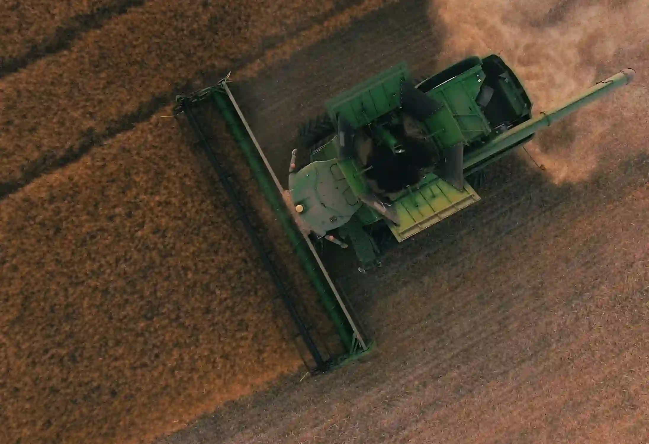
A web and mobile app developed which strengthens the process of farming and food management.

From paper forms to managing livestock and inventory digitally.

No Internet or Low Connectivity, application runs smoothly.

Breaking down the functional components of the project into phases, following an agile and iterative methodology.

Consistent planning of the subsequent phases, and a fixed set of deliverables in each phase.

Prioritizing the ever- evolving deliverables according to the client’s vision of business.

Total involvement of the client at each and every stage of the development; reflecting full transparency and acceptance of suggestions and opinions.

Continuously improving and refining the solution based on client feedback and user testing.

From nothing to a star!
Client can now geo-fence the farms by mapping Paddock, Zone & Yard using GPS or RFID to define geo-graphical boundaries of the property.
Client can digitally create unlimited number of eNVDs for cattle, sheep and goat movements from one property to another.
This feature helps to transmit the information via Bluetooth and SYNC data received on cloud, from any mobile to web and vice versa.
This feature helps to sync the eNVDs automatically with the governing bodies including NLIS, MLA, and LPA.
Client can now get detailed insights with authentic and accurate data to increase farm productivity
This feature allows client to easily manage each animal's treatment history as well as also check their status staring from birth till death.


The measurable impact delivered after deployment.


“I have used Zealous for several of my projects, I have found the team to be very professional yet personable. When I work with Zealous, I know I am getting the best developers who understand my requirements before they start.”

Sales Director at Digital Dilemma
“From day-1 Pranjal and his team have been very good at delivering quality work on time to budget. They are dynamic, if resources need to be shuffled around depending on what work needs to be done.”

Senior Product Manager at Ecentric Payment Systems Driving
Every startup begins from scratch. A reliable tech partner stands by you throughout your journey, laying a strong foundation for long-term success.

